Search results for :
GIS / Remote Sensing
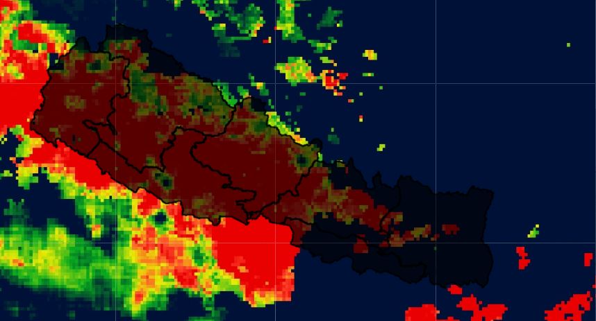
All you need to know about NDVI
Published on Dec 29, 2024
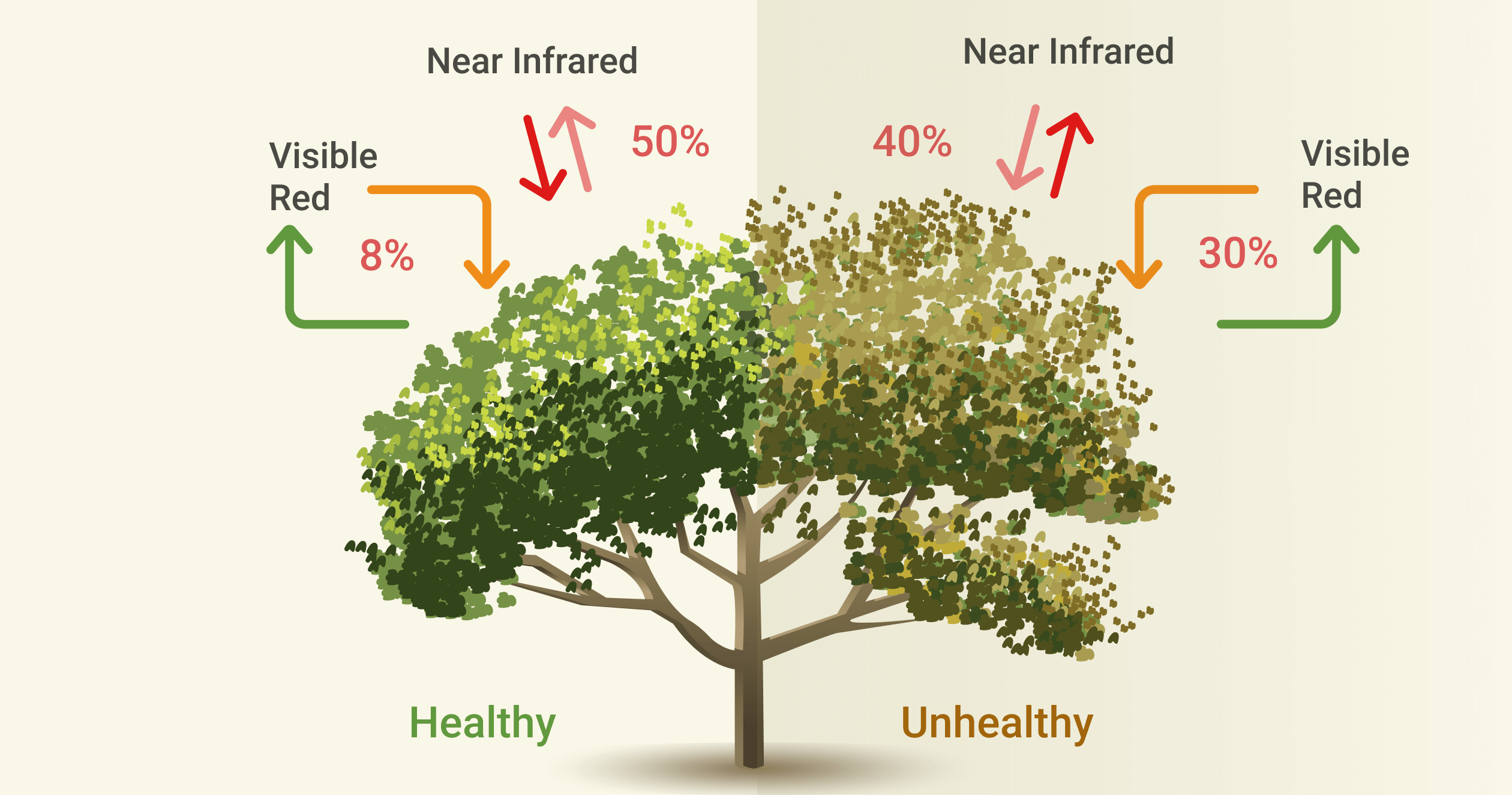
The Normalized Difference Vegetation Index is a simple indicator of photosynthetically active biomass or, in layman’s terms, a calculation of vegetation health.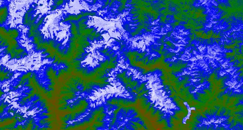
Normalized Difference Snow Index (NDSI)
Published on Dec 29, 2024
NDSI is a measure of the relative magnitude of the reflectance difference between visible (green) and shortwave infrared (SWIR).
All you need to know about EVI
Published on Dec 29, 2024
EVI is similar to the Normalized Difference Vegetation Index (NDVI) and can be used to quantify vegetation greenness. However, EVI corrects for some atmospheric conditions and canopy background noise and is more sensitive in areas with dense vegetation.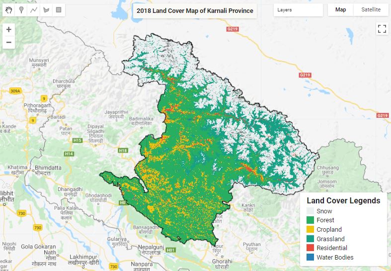
Land Cover Mapping
Published on Dec 29, 2024
The surface of the Earth is continuously changing at many levels; local, regional, national, and global scales. Changes in land use and land cover are pervasive, rapid, and can have significant impacts on people, the economy, and the environment.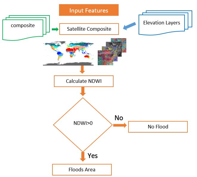
All you need to know about NDWI: Normalized Difference Water Index
Published on Dec 29, 2024
The Normalized Difference Water Index (NDWI) is remote sensing-derived index estimating the leaf water content at the canopy level.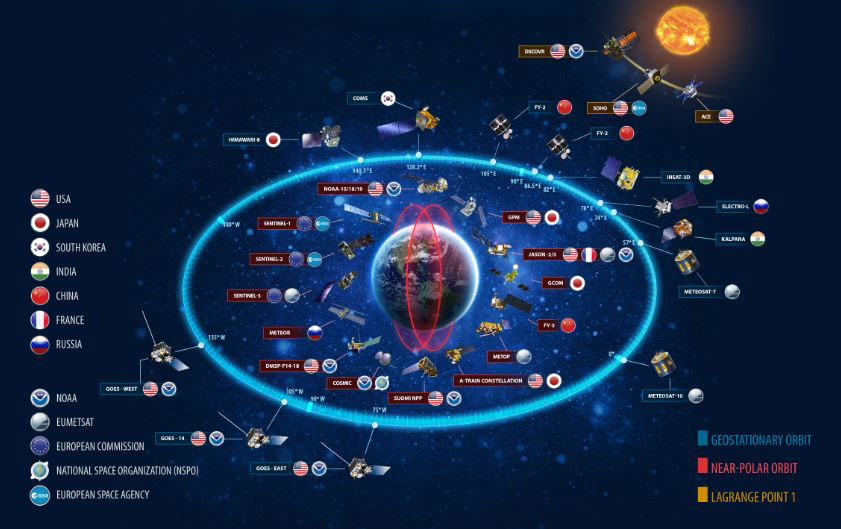
Awesome facts about Satellites
Published on Dec 29, 2024
Sputnik 1 was the first satellite in space. The Soviet Union launched it in 1957.
SATELLITE IMAGERY - Link to asses free satellite imagery
Published on Dec 29, 2024
FREE SATELLITE IMAGERY SOURCE LINK
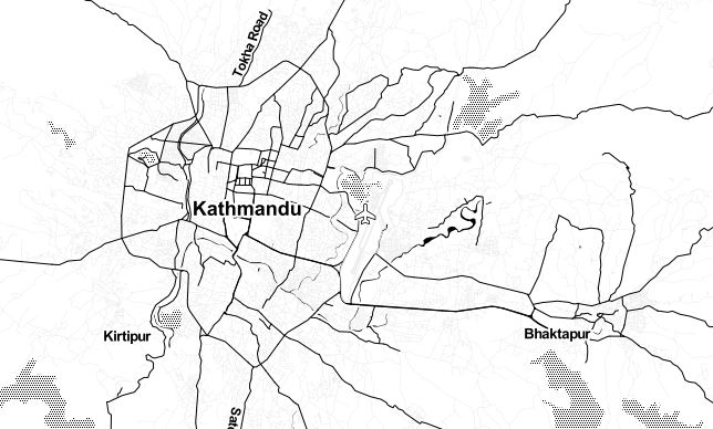
GEE Zonal Statistics and export as CSV
Published on Jan 01, 2025
Get statistics in each zone of the image or image collection in the Google Earth engine and export the data in CSV. Statistics are simple tools that help us for a better understanding of our images. Spatial statistics is one of the most rapidly growing areas of statistics.
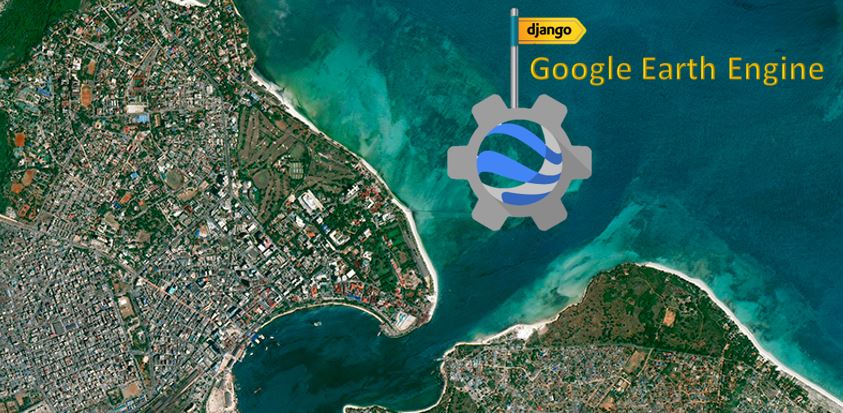
Export Google Earth Engine Images directly to your computer.
Published on Jan 01, 2025
Export images, image collection, and map tiles from the Google Earth Engine collection directly to your computer.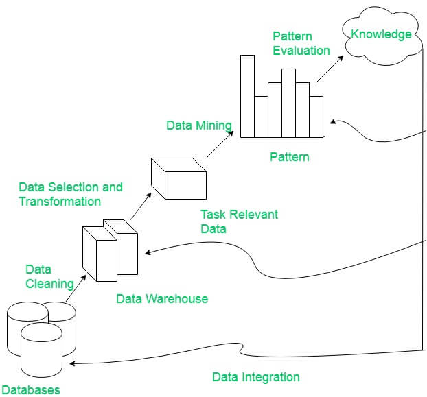
Integrate Google Earth Engine(GEE), Pandas framework and Matplotlip - Spatial Data Mining
Published on Jan 01, 2025
Discovery Patterns in Spatial data, extract potentially useful information from data stored in images, and visualize the result in dynamic charts.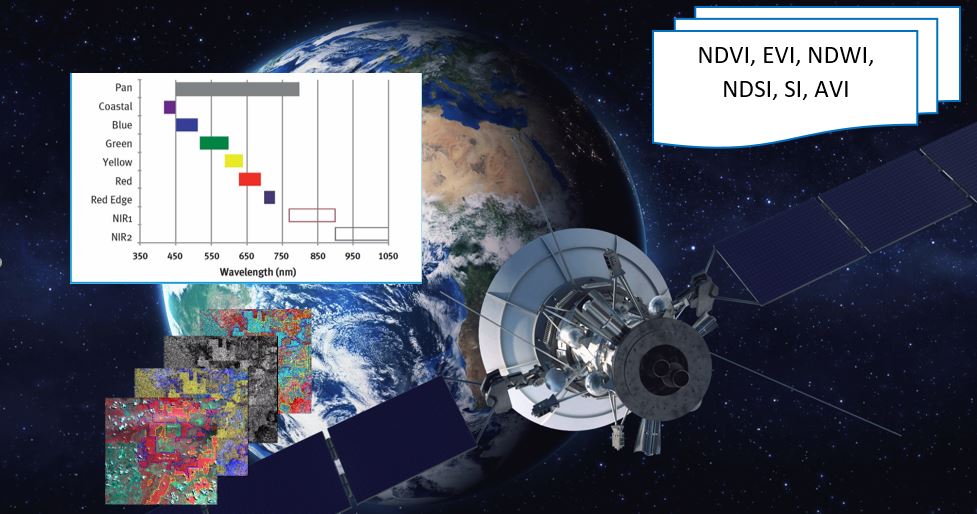
Most used spectral Indices with free satellite data
Published on Jan 01, 2025
Today many different indices exist and each one has its own significance in the study. Here are the most popular indices that be calculated from free data satellites.